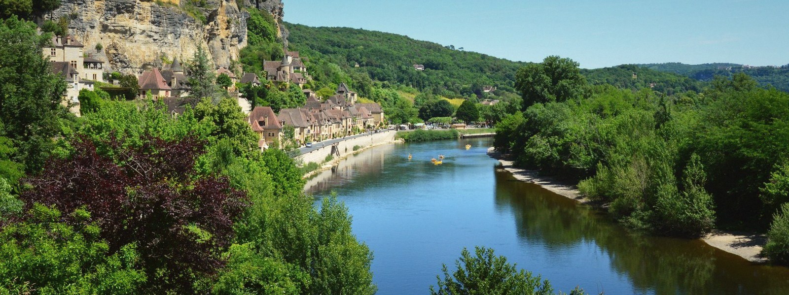
The River Path
Where cut stone met moving water: the narrow ledge between the quarried cliff and the Gironde.
The base of everything
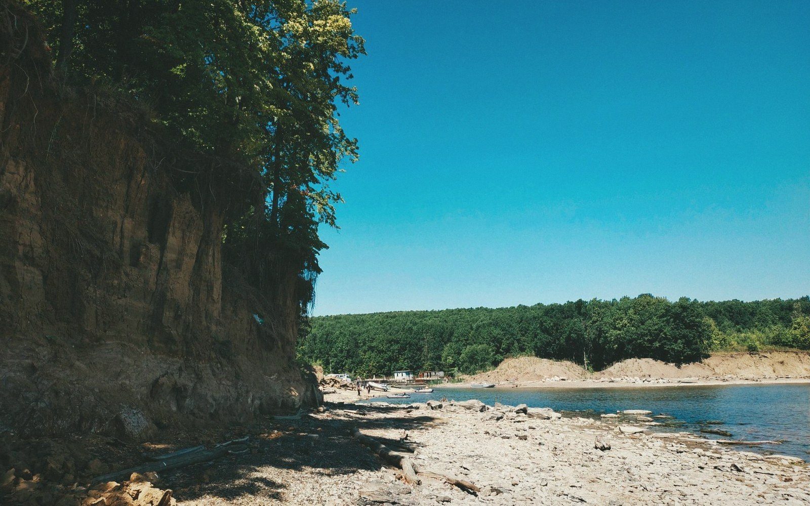
The cliff at Bourg is not a natural escarpment. It is a cut face — the outer edge of the calcareous stone mass that was worked from below and behind, leaving a vertical wall where the quarrymen eventually ran out of hill to take. At the foot of that wall, between the rock and the river, there is a path. It runs along the zone where the two systems — the worked stone above, the tidal estuary below — meet at their narrowest point.
This is where the gallery mouths open. Not every one is accessible, and several are now sealed or collapsed to a low crawl, but their presence is readable in the face: rectangular shadows cut too regularly to be natural solution cavities, sitting at a consistent height above the river that reflects the original working level inside. The quarrymen followed a bed of particularly workable stone — the calcaire à astéries, a shelly limestone of the Oligocene, soft enough to saw by hand when freshly cut and dense enough to hold a wall once seasoned — and that bed determined the elevation at which the face opens.
The path exists because the cliff creates a shelf. Where the softer material at the base has eroded or been undercut by the strong tidal range of the estuary, the rock above overhangs slightly. The spring tide here can move water several metres vertically within a single cycle, and that movement has worked at the foot of the cliff continuously. The result is a margin of stone that is undercut, pitted, and in places hollowed beyond the gallery openings themselves — the estuary taking back, incrementally, what the quarrymen left standing.
Loading happened here. Blocks that had been cut to size at the face — trimmed square so that no unnecessary weight made the journey — were brought out through the gallery mouths, moved along this path, and transferred onto flat-bottomed river barges tied against the rock. The logistics required a working surface at water's edge, which this ledge provided. The tidal window constrained everything: too low and the barge grounded; too high and the freeboard disappeared. The loading point was not a harbour — there is no harbour here — but a worked edge of stone that happened to be level, accessible, and directly connected to the underground workings above it.
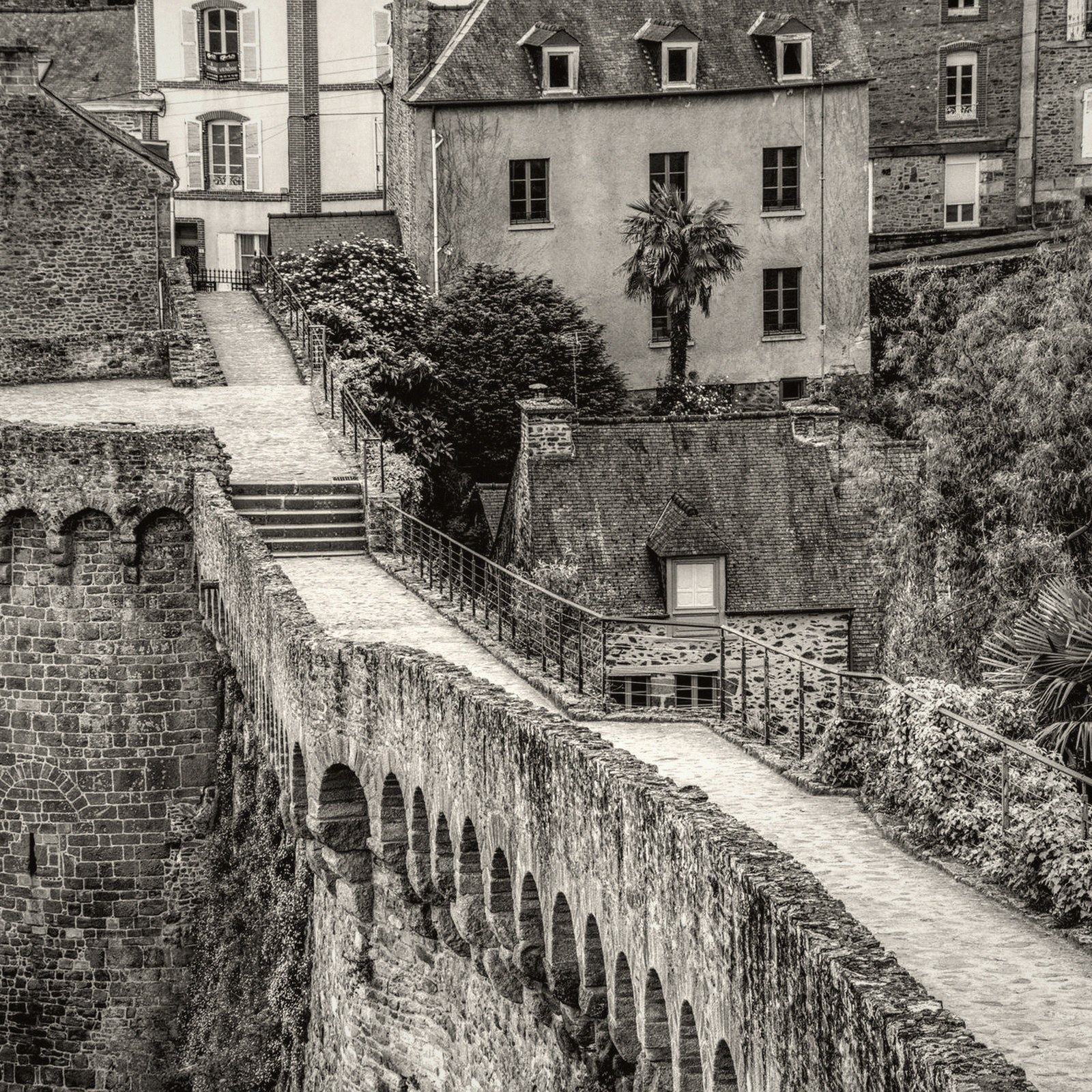
The citadel stands at the top of this face. The river path runs at its base. Between them is the cut.
The tidal window constrained everything: too low and the barge grounded;