The largest range on the coast
The Gironde estuary swings between water levels that would astonish anyone used to the Mediterranean — and the banks pay the price.
What the numbers mean on the ground
The tidal range at Bourg-sur-Gironde reaches roughly six metres on the biggest spring tides. Set that against the Atlantic coast's average and it is already remarkable; set it against the rest of Europe's Atlantic seaboard and the Gironde stands at the upper end of anywhere outside the Bristol Channel and the Bay of Mont-Saint-Michel. Six metres is not a figure to read past. It is the height of a two-storey building, uncovered and re-covered twice every day.
What produces this is a combination of geography and resonance. The Gironde is a wide, funnel-shaped estuary — broad at the mouth near Pointe de Grave, narrowing progressively as it takes in the Dordogne from the north-east and the Garonne from the south-east at the confluence near Bec d'Ambès. A tidal wave moving into a narrowing channel is forced upward as well as forward; the funnel concentrates energy that was spread across open water. The length and shallowness of the estuary add a resonance effect: the natural period of the water body is close enough to the tidal period that the oscillation is amplified rather than damped. The estuary, in effect, is tuned to the tide.
What it does to the banks
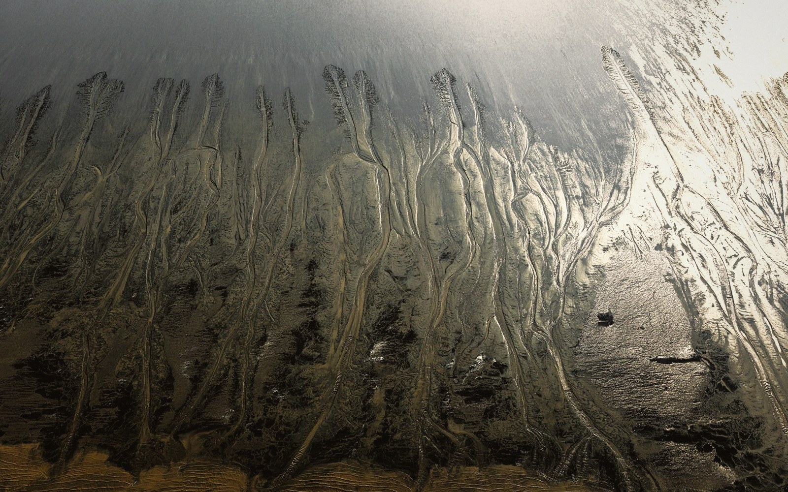
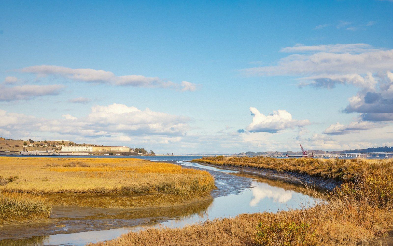
Twice a day, every metre of the foreshore between the low-water mark and the high-water mark is alternately submerged and exposed. At Bourg, that zone is wide — the bank shelves gently in many places, so six metres of vertical range translates into a very large horizontal distance of wetted ground. The mudbanks that form along the margins are not stable features; they are re-worked on every cycle, fine sediment lifted at the flood, dropped as the current slackens, lifted again. Brown water is the characteristic colour of the Gironde because the suspended load is almost never fully settled.
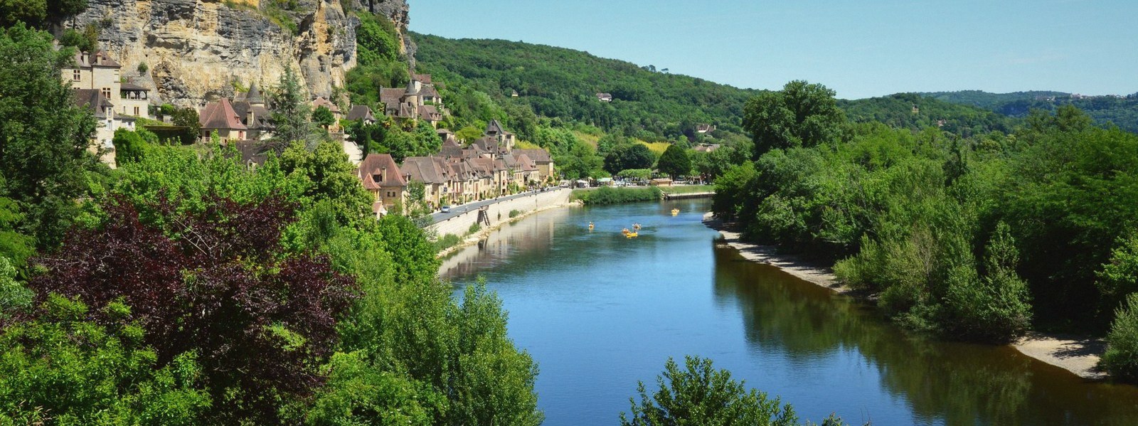
The cut limestone face below the citadel has been shaped by this. The cliff base is in the intertidal zone: soaked, dried, soaked again. Limestone that spent millions of years forming in calm marine conditions now endures daily chemical cycling — carbonic acid from the water, salt from the estuary, the mechanical action of sediment-laden current running along the foot of the face. The same stone that cuts easily when freshly quarried and hardens on exposure is now exposed to conditions that work in the opposite direction: slow dissolution at the waterline, undercutting that is invisible until a slab detaches.
The tidal rhythm also governs everything that moves on the river. The gabares — flat-bottomed river barges — that once carried dressed stone down to Bordeaux worked the tide as a tool. A vessel loaded with limestone blocks would leave on the ebb, letting the falling water carry it downriver without fighting the current. Timing was not a convenience; it was the difference between a viable cargo and an impossible one. The largest tides gave the longest ebb and the deepest water over the bars, but they also produced the fastest currents, and a heavily laden barge in a strong ebb required careful handling. On the biggest spring tides, the subsequent flood runs hard enough that it can reverse a river's apparent direction entirely — and occasionally it arrives not as a gradual rise but as a wave with a visible front, running upstream against the current.
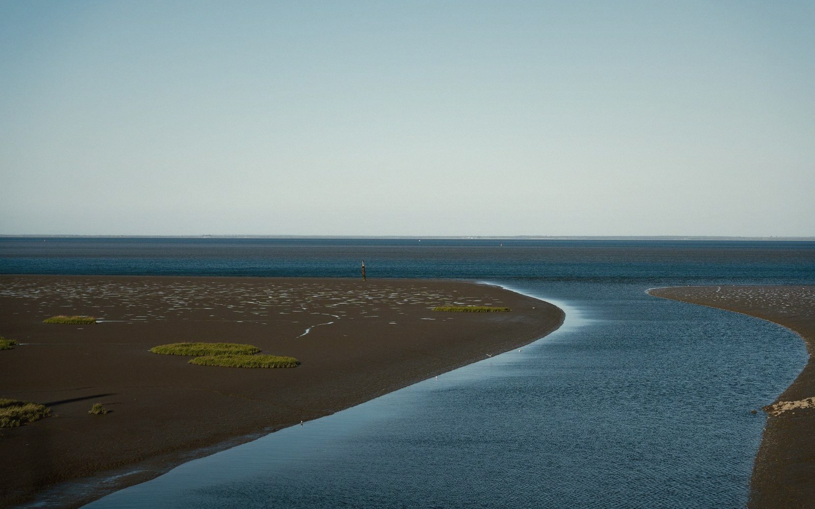
The range here is an engine. It moves sediment, shapes stone, governs traffic and sets the rhythm of any work done at the water's edge. The estuary looks like a wide, quiet waterway from the citadel above — brown, slow, grand. At the bank, it is nothing of the sort.
What produces this is a combination of geography and resonance.