The citadel on the cut
The upper town's defensive walls were built on the very rock that builders had already hollowed. Foundation and quarry face are the same surface.
The cliff that quarrying made
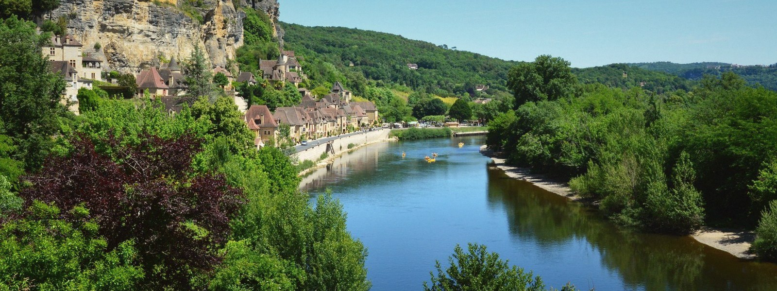
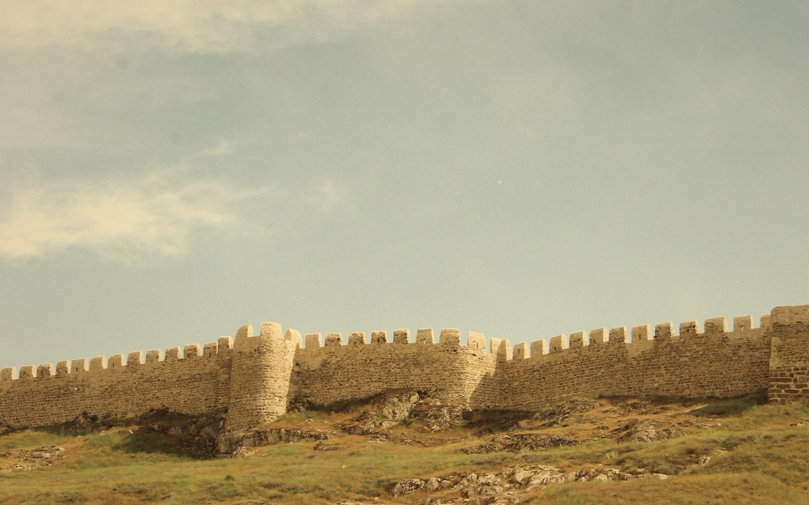
Bourg's upper town occupies a limestone plateau whose southern and western edges break away in a near-vertical face above the Dordogne. That face is not simply what erosion left. Centuries of quarrying removed the softer, workable beds from within the plateau, and the cut exposed outward to become the cliff. The citadel wall, when it was raised, had no need to be bedded into a separate foundation course: it sat on the sawn lip of the extraction zone itself, with the worked-out galleries running back beneath the streets immediately behind it.
This compresses several stages of human labour into a single object. The quarrymen cut downward and inward to remove building stone; the masons who later raised the fortification used the resulting face as a ready-made rampart base, adding dressed courses only where the natural and cut stone did not already provide sufficient height. In places, the distinction between natural cliff, cut quarry face, and built wall is genuinely difficult to read — which is partly why the citadel has the visual weight it does when seen from the river or from the low ground at the foot of the escarpment.
What holds the plateau up
The extraction method used throughout the Bourg system was room-and-pillar: galleries advanced horizontally through the limestone bed, leaving pillars left standing at regular intervals to carry the vault above. The working stopped short of the outer edge, so the cliff itself was never fully undermined. A margin of intact rock was left between the innermost gallery and the exposed face — not always a generous margin, but enough that the plateau rim survived as coherent stone rather than collapsing outward.
That margin is what the citadel foundations bear on. The wall is not, strictly, hanging over a void; it is sitting on a zone of rock that was deliberately spared. But the galleries behind it run close, and the ceiling of the topmost gallery in some areas is the floor of the streets above. The citadel's apparent impregnability from the river was always partly an illusion: the solid cliff concealed a riddled interior that required its own form of structural discipline to remain stable.
Reading the face from below
From the waterfront, or from the river itself at low water — and the tidal range here is large enough that the low-water standpoint moves considerably depending on the state of the tide — the face reads as a layered sequence. The lower courses are natural limestone, river-worked and stained. Above them comes the zone of extraction: the beds that were opened, cut and removed, visible now as recesses, ledge lines and the mouths of a few accessible galleries. Higher still, the built fabric of the citadel begins: ashlar and rubble courses, the rebuilt angles of towers, and the terrace that carries the formal upper town behind its parapet.
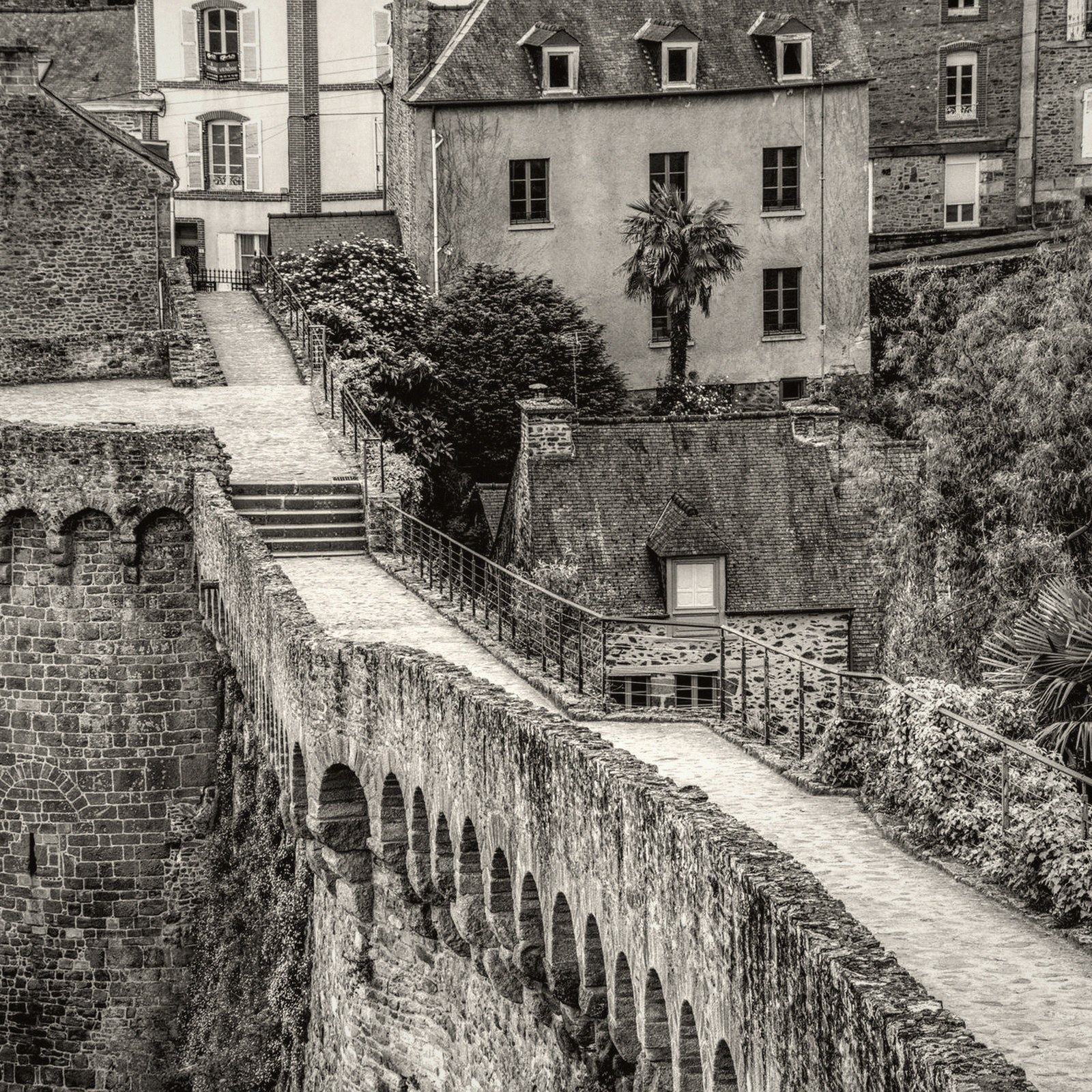
Each layer is the consequence of the one below it. The river undercut the base and exposed the stone. Quarrymen recognised the quality of the exposed beds and worked them. The resulting face became the defensive asset that prompted the citadel's position. And the stone that came out of the galleries went downriver to build a city, leaving Bourg to stand guard over the estuary on its own excavated bones.
The logic is circular in the most literal sense: stone removed to build elsewhere left the void that defines this place. The citadel is the visible edge of an act of extraction, formalized into architecture. Its commanding position above the Dordogne, close to its confluence with the Garonne is real, but it is a position that the quarry made possible. The cut face is the foundation; the foundation is the cut face. They were never different things.
The quarrymen cut downward and inward to remove building stone;