Mudbanks
The Gironde carries more than water — it carries the land itself, in suspension.
The river that never runs clear
The Gironde is an estuary, not a river, and it behaves like one: the tide pushes salt water inland twice a day, meets fresh water coming down from the Dordogne and Garonne, and the two do not mix cleanly. Where they collide, fine sediment that was travelling in suspension suddenly loses its momentum and drops. The result is a zone of maximum turbidity — the bouchon vaseux, or mud plug — that migrates up and down the estuary with the season and the flood, but never disappears.
The water at Bourg is almost always brown. This is not pollution; it is physics. The estuary holds perhaps five million tonnes of fine sediment in circulation at any one time, caught in a slow loop: carried upstream on the flood tide, dropped at slack water, resuspended on the ebb, carried back, dropped again. Some of it travels this loop for years without ever reaching the sea.
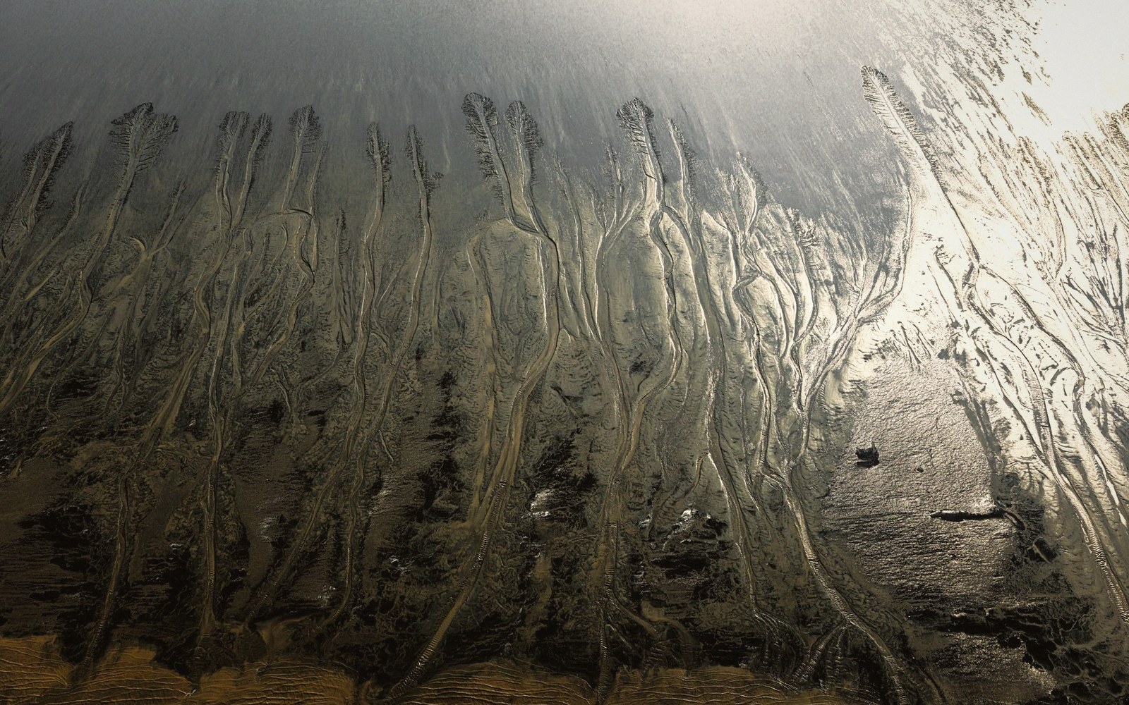
Where the geometry of the channel changes — a bend, a shallowing, a confluence — the loop slows and sediment accumulates. Mudbanks build. They are not static features: a bank that grounds a flat-bottomed barge in summer may be scoured to navigable depth by the first winter flood. The flat-bottomed barge that carried limestone blocks to Bordeaux was designed in part around this reality — shallow draught, flexible timing, a crew that read the water rather than a chart.
The tidal range amplifies everything. The spring tide at the mouth of the estuary can exceed four metres; further inland the wave is compressed by the narrowing channel and the range stays considerable at Bourg. A falling tide of that scale drains enormous volumes of water across the mudflats, accelerating the ebb current and reworking the banks on every cycle. The largest of these events, when exceptional coefficients align with river flood, can move a bar by metres in a single tide.
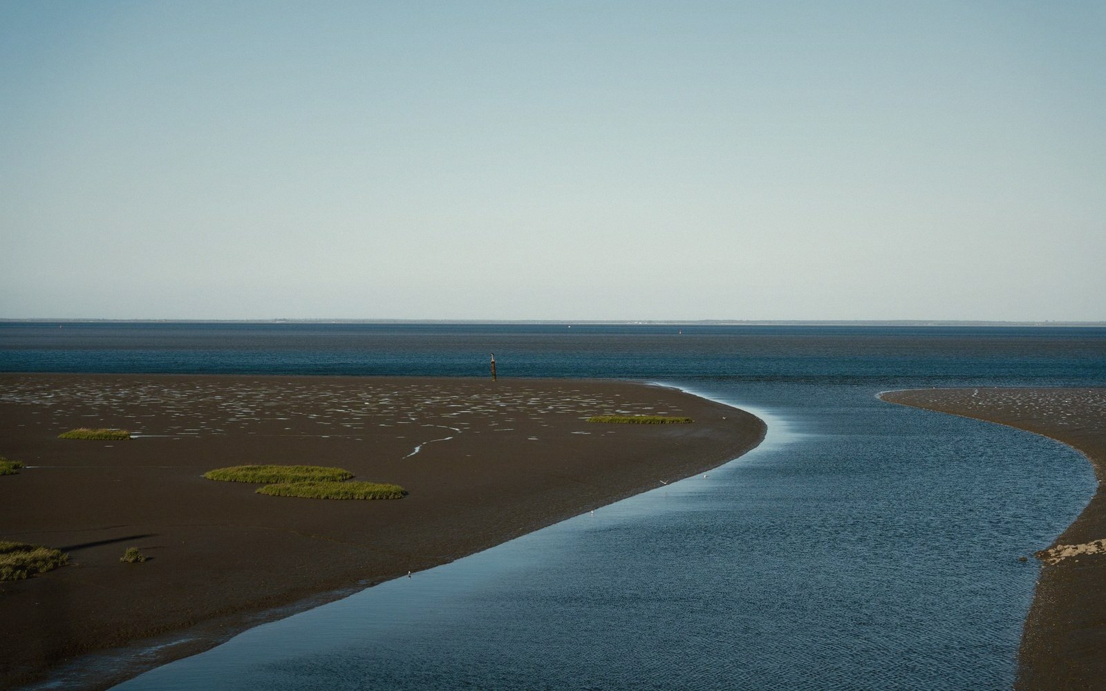
What looks like stable ground at low water is provisional. The brown water is not just colour — it is the estuary thinking aloud about where it intends to put its sediment next.
The spring tide at the mouth of the estuary can exceed four metres;